Description
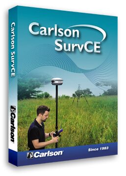
Top new SurvCE 5.0 features include:
1. “One Touch” points feature selection.
2. Graphical Stakeout Interface based on motion. Two-step stakeout procedure
for navigation and proximity provide a new and original stakeout method that increases productivity and ease-of-use. The new guidance symbols combine well with the e-bubble and other sensor icons to provide intuitive real time information that takes the operator to the point quickly and accurately.
3. Easy-select target feature. Allows user to preconfigure rod heights and targets and switch between them intuitively and easily from all live survey screens.
4. New GNSS mission planning feature computes satellite availability, this includes:
a. Graphics for number of satellites and DOP curves
b. User defined list for obstructions masking.
5. SurvCE LDL (Live Digital Leveling) Full management for IMU sensors in GNSS units. New
features perform accurate and reliable measurements by reducing and compensating for errors due to vertical positioning of the pole.
6. New GNSS antenna library. Fully compatible with NGS-NOAA catalog and now supporting all NGS Absolute and Relative Antennas calibration.
7. Improved memory management to allow bigger user files (dxf-dwg, tin, geoids…).
8. Edit Centerline now has the ability to add curves and spirals by fitting the existing Pls.
9. GPS-Search Improvements for motorized Total Stations – search is quicker and more effective. Provides new distance setting from prism to GPS for better matching and a new more handy icon to perform the search.
10. Extended Point-List format to allow longer points IDs and descriptions with its new binary format that expands the point information.
Item #: CarlsonSurvCE
Condition: New
Additional information
| Module Configurations | SurvCE Basic, SurvCE Robotic (+$500.00), SurvCE GPS (+$1,000.00), SurvCE Roading (+$500.00) |
|---|


Reviews
There are no reviews yet.